I’ve just been browsing the Britain From Above site again for the first time in a while and there’s a couple of new (old) photos for Hoylake, Meols and West Kirby.
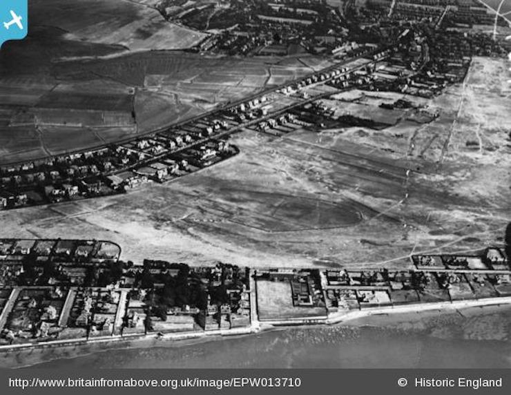
Pictured above is an aerial photo from 1925 featuring an admittedly bland view of the Royal Liverpool golf course. Initially I couldn’t place the it, but I’ve concluded we’re looking down on Stanley Road with the golf course behind and then Meols Drive.  The club house isn’t obvious – see if you can place it.
As the forecast is good for this weekend heck, you could even try some of this Hoylake walk and take a close-up view of the modern-day club house. Or go coastal and from Red Rocks follow the boardwalk along the bottom edge of the course up to West Kirby. It’s possibly just me, but I ran it the other week and it made my eyes go funny – I think it’s the gaps between the boards that affects my focus. Or I’m getting a bit too old for this running malarkey.
I featured some 1920s photos of the club back in this post nearly three years ago. That large square of grass at the junction of Barton Road and Beach Road was the site of the old Royal Hotel. It’s not hard to guess how The Royal cul-de-sac got its name.
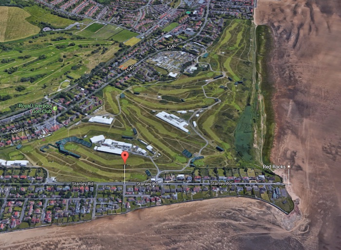
Here’s a pretty similar view from Google earth, obviously when The Open was on in 2014:


It seems to predate the Hoylake Municipal golf course!